Typical Deliverables
- Orthomosaics
- Digital elevation models
- Digital surface models
- Point clouds
- Land-cover maps
- Change-detection outputs
Photogrammetry & Remote Sensing — high‑fidelity measurements from imagery
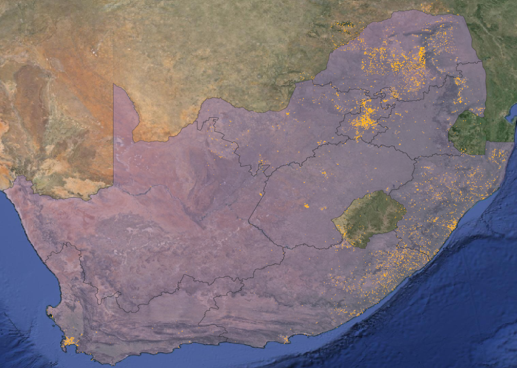
Aphelion World transforms satellite, aerial and UAV imagery into accurate, analysis-ready geospatial products for planning, monitoring and operational decision-making. Our photogrammetry and remote sensing workflows support orthomosaic generation, terrain modelling, feature extraction, land-cover analysis and change detection across infrastructure, urban, environmental, agricultural and forestry applications.
We combine automated processing pipelines with quality assurance and geodetic validation to deliver outputs that are suitable for engineers, planners, analysts and decision-makers.
Our workflows are designed for scalable operational deployment across infrastructure, environmental, forestry and urban monitoring programmes.
Common Use Cases
- Infrastructure corridor mapping and asset monitoring
- Urban growth and settlement change detection
- Forestry inventory and vegetation condition assessment
- Environmental monitoring and land-cover analysis
- Engineering-ready terrain and surface models
Typical Workflow
1. Acquisition
Satellite, aerial and UAV imagery acquisition.
2. Processing
Photogrammetric reconstruction, mosaicking and analytics.
3. Delivery
Engineering-ready outputs, dashboards and GIS integration.